EH Technology Co ltd provides photogrammetry services utilising specialised aerial photography UAV’s. All of our photogrammetry UAV’s are equipped for high precision RTK/PPK GNSS processing. Using high resolution aerial photographs, we can generate a range of products including classified point cloud, digital terrain model, digital surface model, and high resolution GNSS located orthophotography. We have a range of various sized RTK/PPK photogrammetry UAV’s suitable for all survey sizes.
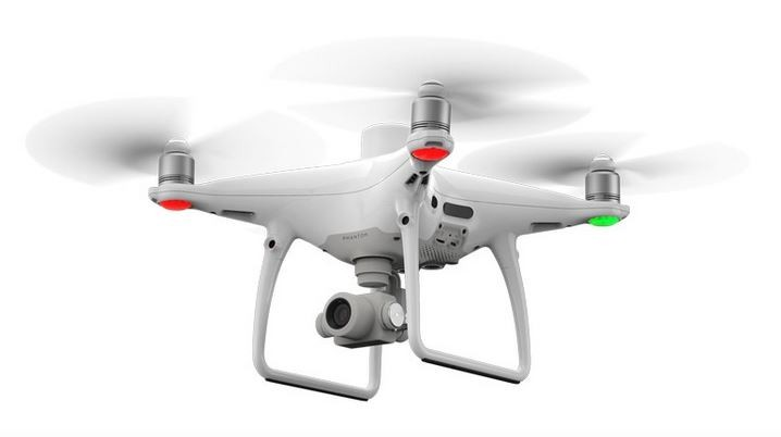
- Choice of three UAV’s depending on survey size, Wingtra VTOL RTK/PPK for large surveys, senseFly eBee RTK or DJI Phantom 4 RTK/PPK for smaller surveys.
- Full GNSS PPK/RTK processing resulting in >10cm accuracy.
- Ground Control Points included in all surveys for verification of accuracy.
- Ultra-high resolution DTM, DSM, and orthomosaic products.